
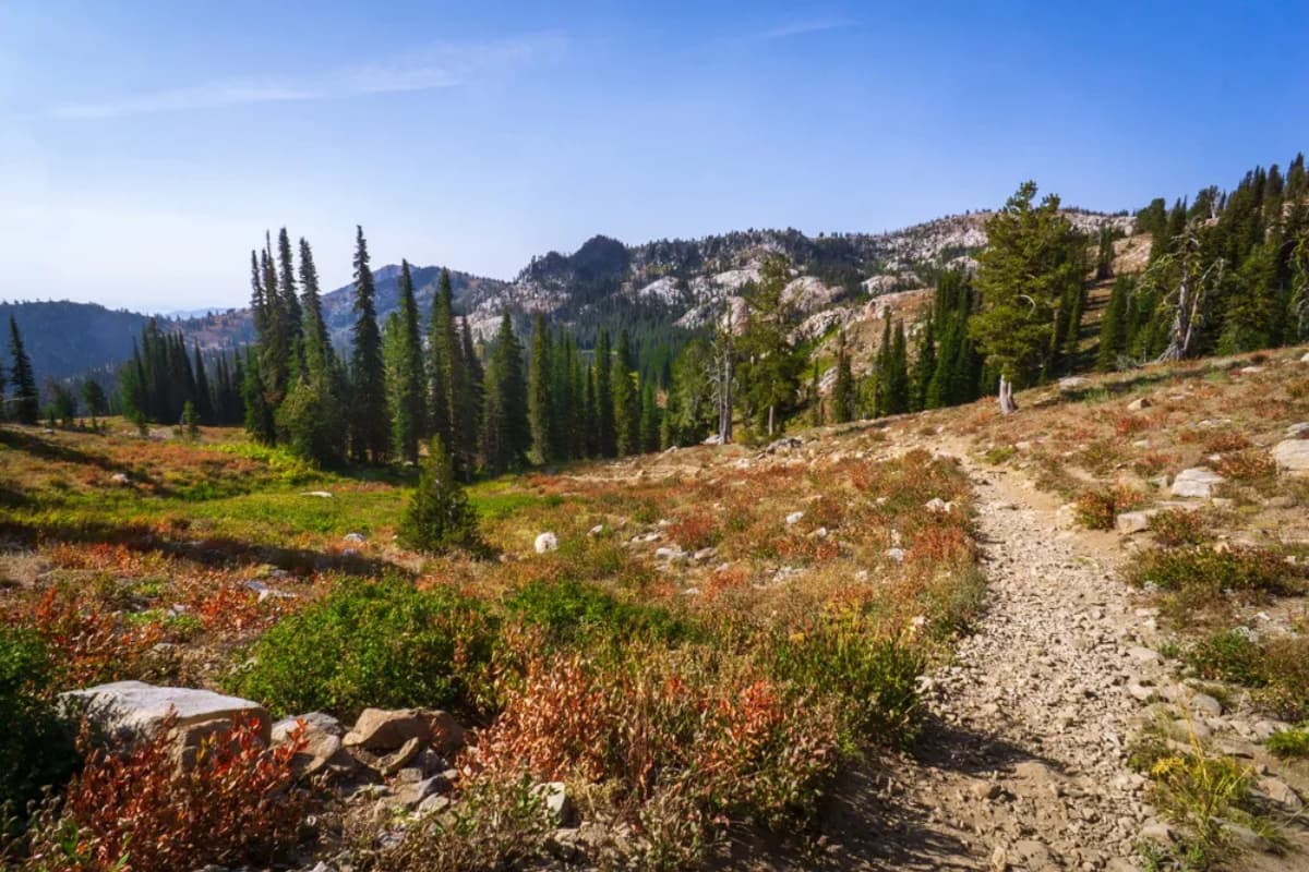
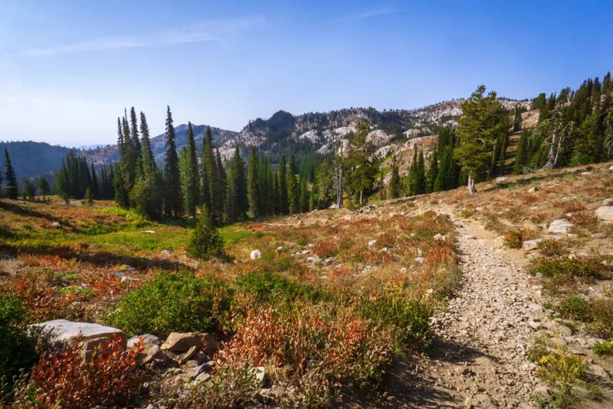
When the pavement runs out, the good stuff starts. The mountains around Cascade are laced with backcountry routes for OHVs, hikers, and horseback riders — climbing past burned-and-reborn forests, fording creeks, and topping out at old fire lookouts with views clear to the Seven Devils. Here are five of our favorites, plus a note on where to leave the trailer.
For maps, seasonal closures, and the rules of the road, start with the Boise National Forest OHV page. Always check the Motor Vehicle Use Map (MVUM) before you ride.
Dollar Creek Way Trail #114
This route runs about 3 miles to its intersection with the Needles Route Trail, then continues east another 4 miles to Forest Service (FS) road 495. The western 3 miles are open to all trail users; the eastern 4 miles are non-motorized only. It also provides access to the Gold Fork North Trail and the Needles Route Trail.
The Needles Fire burned within a quarter mile north of this trail in 1989. The trail is easy to follow as it climbs gradually, then more steeply toward its destination.
About 0.2 miles from the trailhead, the unsigned Gold Fork North Trail drops steeply to the right. The trail crosses five creeks within the next 1.6 miles, three of which are major fords. After fording the North Fork Gold Fork River, it switchbacks steeply up the hillside for roughly 0.5 miles, then levels out and gradually climbs to its signed intersection with the Needles Route Trail.
Learn more about Dollar Creek Way Trail →
East Mountain Way Trail
The East Mountain Way Trail offers views of Round Valley and Long Valley, passes through forests and meadows, and ends near East Mountain Lookout. For most of its length it overlaps a ridge, occasionally dropping to the ridge's west side. Pack extra water — there is none available along the trail.
Sections of FS Road 417F (East Mountain Lookout Road), which accesses the north trailhead, are steep and eroded; a high-clearance vehicle is recommended. The unsigned trailhead begins in a prominent saddle on FS Road 417B as a stock driveway heading northeast, then steeply ascends and descends a ridge.
In a saddle where Round Valley can be seen to the west, the stock driveway narrows to a trail. At a small hill with an aspen grove the trail gets hard to find as it heads east across a meadow, then continues northeast through a lodgepole pine forest and past granite boulders with a view of Herrick Reservoir. The blazed but unsigned trail ends at FS Road 417F.
There are three sections of the East Mountain Way Trail — refer to the MVUM for OHV-open areas (sections 099B04, 099A04, and 099C04).
Learn more about East Mountain Way Trail →
Gold Fork North Trail
The ford at the northern end of this trail is deep and swift for all users. The other two fords shouldn't trouble hikers and horses, though the last could give motorcycles problems, and the upper portion is very steep. The trail travels through open forests of larch, lodgepole pine, and fir, and ends at the old Gold Fork Lookout — from the cement platform there are panoramic views west, north, and south. The Spruce Fire burned through the upper trail in 1989 and may have destroyed the lookout's buildings.
Starting at the western trailhead for Dollar Creek Ridge, hike up the ridge about 0.2 miles. The unsigned but very evident Gold Fork North Trail drops steeply to, and fords, the North Fork of the Gold Fork River. It then gently climbs, fords a side drainage in another 0.3 miles, and continues along a ridge through mixed larch and lodgepole pine, crossing another creek at 1.3 miles. After that last ford it alternately climbs steeply and gently up another ridge of open areas and lodgepole-and-fir forest, with evidence of past wildfire.
At 2.4 miles the trail levels out as the ridge flattens for 0.6 miles; at 3 miles it climbs very steeply for about 0.4 miles; the last 0.5 miles are gentle, approaching the old Gold Fork Lookout from the northeast — the green roof of the old garage is the first thing you'll see. Around a granite outcrop are the garage, an old tool shed, a pit toilet, and the lookout; only the cement platform remains, with a USGS survey marker in its northwest corner. Views take in the Needles to the north; Long Valley, Cascade Reservoir, and West Mountain to the west; and the Big Creek drainage to the south — with the Seven Devils far to the northwest.
Learn more about Gold Fork North Trail →
Needles Route Trail
The Needles Route Trail follows a ridge for most of its length, with views of the surrounding country, and intersects the Dollar Creek Ridge Trail 6 miles from its southern trailhead. Dollar Creek Ridge is open to non-motorized uses only; the southern access point is marked by a sign reading "2 GOLD FORK ROCK and GOLD FORK L.O. 1."
The trail begins as an old road that looks car-passable but turns treacherous at about 0.25 mile, where four-wheel drive becomes necessary. It's pleasant for hikers, horseback riders, and OHV users as it climbs gradually for two miles. A small stream separates the road from the trail and must be crossed to continue. Blazes are everywhere as the trail climbs more steeply over sandy granite soil and bare rock to Gold Fork Rock, 0.5 mile beyond the road's end.
Past the Rock, the trail continues north among smaller outcrops that tower above the trees. About 3.5 miles from Gold Fork Rock it meets the Dollar Creek Ridge Trail. Approaching from the south, the trail branches three ways — west and east is Dollar Creek Ridge, north is Needles Route. Take the middle trail, which dips down a small gully and back up on its way north.
Near the north end, blazes on trees plus numerous faint trails make things confusing; follow the most obvious and newest blazes tree by tree. This leads to a small alpine pond near the base of three 8,000-foot-plus peaks, including Square Top. That's essentially the end of the route — hiking any direction but south brings you to the ridge marking the Payette National Forest boundary. There are no signs at the end.
Learn more about Needles Route Trail →
Wilson Creek Trail
The Wilson Creek Trail crosses several creeks, passes through wildflower-carpeted meadows, and skirts the edge of Rock Lake. Several trails reach it, but the Burnt Wagon Basin–West Mountain jeep trail is the recommended primary access — a 4WD high-clearance vehicle is advised for that 3-mile section of road.
Because parts of the trail are crisscrossed by cow paths (it passes through areas grazed by cattle in summer and fall), it can be hard to follow; only a few blazes and rock cairns mark the way. Within 3 miles of the trailhead on FS Road 435, the jeep road diminishes and the trail begins. As it overlaps a ridge heading south, it offers panoramic mountain views, then within a mile turns east through a meadow where it's difficult to find, parallels Rock Lake, and crosses several unnamed creeks.
The trail ascends a ridge, reaches a road-closed sign, and meets the unsigned Greenfield Flat trail from the northwest. Within another mile, the unsigned Campbell Creek and Skein Lake trails also intersect. At the Skein Lake junction, Wilson Creek turns abruptly southwest and, within a mile, ends at the unsigned West Mountain trail.
Learn more about Wilson Creek Trail →
Room for Your Toys, Room to Relax
Big day on the trail deserves an easy landing. We have parking for your big trailers and a warm place to unwind — sauna, firepit, and all — just minutes from the trailheads. Book your stay at Birch Glen Lodge and spend less time driving, more time riding.